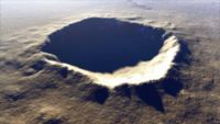
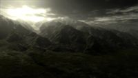
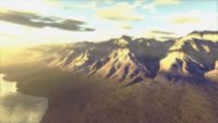
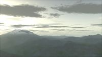
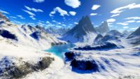
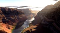
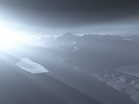
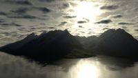
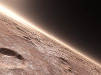
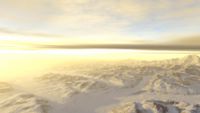
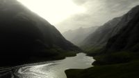
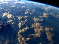
Terragen
In the era when I did most of these projects, Blender simply wasn't good for landscapes. A lot of diehard fanboys claimed it was, but it wasn't. At all. Terragen was far better, provided that you (a) carefully tweaked all the settings and (b) used the commercial version with its greater detail and render resolution. While you can see Terragen used elsewhere in these galleries to provide landscapes for Blender models, in this one I show projects I did exclusively in Terragen itself, without involving Blender.
While Terragen was/is extremely easy to use, it was also extremely slow, and not much improved with the advent of multi-core machines. I haven't touched it years, as I simply don't have the spare time to tweak, render, repeat until done. Even so, I'm quite pleased with most of the images I managed to make when I still used it. Most of these use real topological data from the USGS, which provides data down to 10 m resolution for the entire USA.